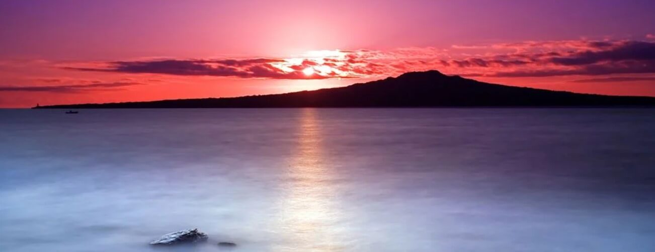
Many picturesque photos taken in the Auckland area have Rangitoto in the background. Situated within the Auckland Volcanic Field (AVF), this cone stands out in several ways.

Janine Krippner
Rangitoto island, or its full name, Ngā Rangi-i-totongia a Tamatekapua, is the youngest of the 53 known vents within the AVF, and it’s the odd one out. It is different to all the other vents or eruption centres in that all the others are what we call monogenetic – they formed during one eruption. One eruption may last a few weeks or months, or even years. A good example of a longer eruption of this sort is Parícutin in a volcanic field in Mexico, which erupted in the middle of a cornfield and lasted from 1943 to 1952.
Rangitoto is also the biggest by far, making up roughly half of the known volume of erupted materials (lava, ash, ballistics, etc) of the entire field. It grew this size during multiple eruptions, and like many volcanoes, these eruption styles were different through time.
If you look online, you’ll see that not too long ago we thought it formed during two eruptions around 600 to 700 years ago, but more recent research shows that activity probably began around 6000 years ago. This was figured out by drilling 150 metres down into the island and collecting rock along the way, allowing volcanologists to study changes in the deposits through time. As usual, the more research is done, the more complex the story gets.
The most recent eruption phases occurred around the years 1300-1400 and 1400-1450 AD, with the latter being a smaller volume but more explosive eruption that formed several scoria cones at the summit. It is important to understand these past eruptions in case we see our next eruption at the same place.
One of the first and most critical questions when unrest begins is ‘what can we expect an eruption to look like?’ Important and impactful decisions will need to be made quickly with this information.
Through the rocks we figure out the story and look at other similar eruptions for clarity. For example, Rangitoto Island is a good place to see pahoehoe and ‘A’ā (pronounced “ah-ah”) lava types, similar to lava flows from eruptions in Hawaii. The flanks were built up mostly from many overlapping lava flows through time, forming our relatively small shield volcano that is much smaller than Kīlauea. If you could go back in time and watch the eruptions, you might get a sort of similar view to what we have also seen recently in Iceland.
Another fascinating aspect is that it was witnessed by Māori. There is archaeological evidence of people living in the area at the time and there are several myths that could represent eruptions. The last eruption in Auckland was when people are living there. That’s really not that long ago in the lifespan of a volcano or volcanic field.
Between this activity, the destructive Tarawera 1886 eruption, and the much more recent 1995-96 Ruapehu eruptions, New Zealand often forgets our potential for being seriously impacted by eruptions. While an eruption at Rangitoto would give one heck of a view from our largest city, it would certainly be much more disruptive today.

Rangitoto at dawn. Photo: Chris Gin. Creative Commons.


