Excitement around this month’s launch of a book linking the geology and whakapapa of Raglan’s Mt Karioi attracted over 160 people to the town’s Stewart St Hall.
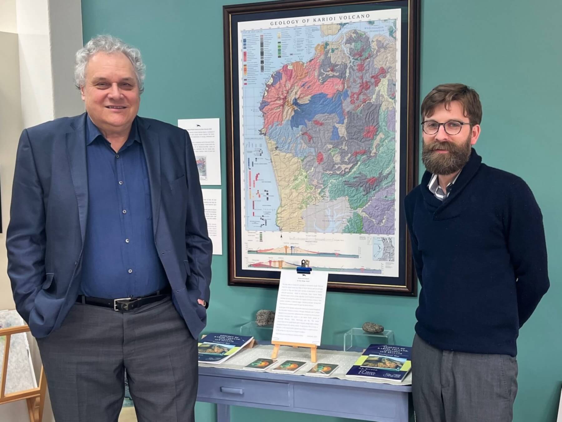
Dr Oliver McLeod, right, with Welcome Swallow Gallery curator Clive Gilson, flank McLeod’s unique map of Raglan’s Mr Karioi. The map is part of an ‘Our Place: Showcase’ exhibition which opened at the Hamilton East gallery last Friday and runs until November 29. Photo: Viv Posselt
An exhibition on the extinct volcano, the new book and its 1:25,000 fold-out map, presented by Raglan Naturally, ran at the Old School Gallery from September 7-19.
‘Geology of Karioi Volcano, Aotearoa New Zealand’, was written by Hamilton-based volcanologist Dr Oliver McLeod and published by the Geoscience Society NZ. Additional input came from Waikato University’s Dr Roger Briggs, and kiwi volcanologist Chris Conway and Osamu Ishizuka, both from the Geological Survey of Japan.
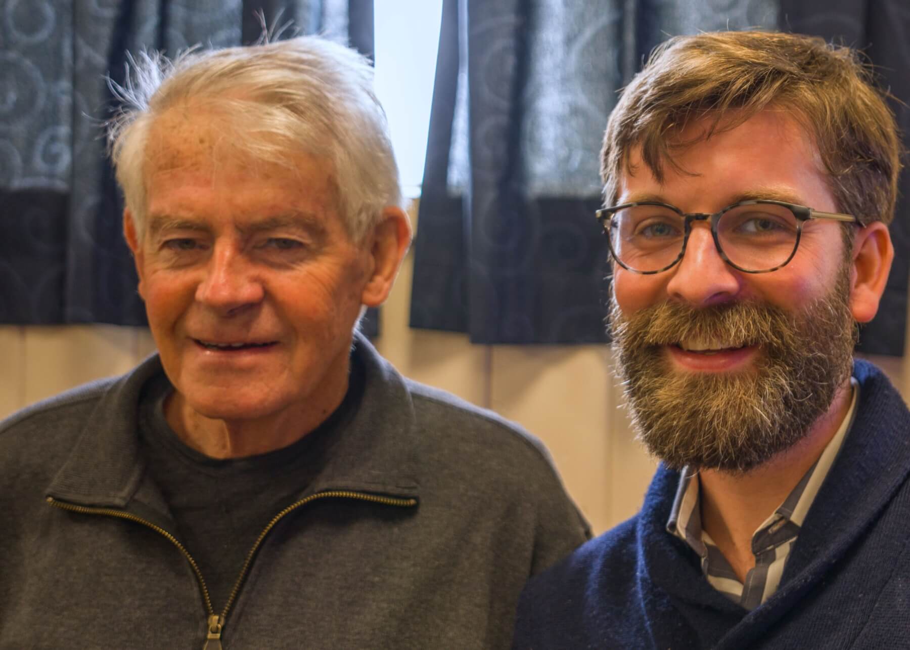
Dr Oliver McLeod with the map’s co-author, Dr Roger Briggs. Photo: David Loughlin
McLeod was in the news in 2020 when his book covering the geological history of Mt Pirongia was published. That task represented the final requirement of his PhD, and the completed book offered the first detailed study of Pirongia. This second book follows on from that and marks the first time the Karioi area has been mapped in such detail.
While researching and writing on Pirongia, McLeod was with the Earth Sciences Department at the University of Waikato. He is now part of the science team at Waikato Regional Council where he brings mātauranga Māori (inherited cultural knowledge) to the table across numerous regional projects.
“My role here is linking together indigenous knowledge and science,” he said. “This project has unlocked the potential of that. Almost all of New Zealand has been geologically mapped, but Karioi hasn’t been done before… the map is the first ever of this mountain. I’ve wanted to study it for a long time but couldn’t take it further until I finished Pirongia.”
The 756m Mt Karioi formed some 2.6 million years ago. The area has strong cultural links to Tainui, whose 750-year history of settlement on its slopes are evidenced by remnants of stone gardens and storage pits. McLeod collaborated throughout the project with kaumātua and others affiliated with the area.
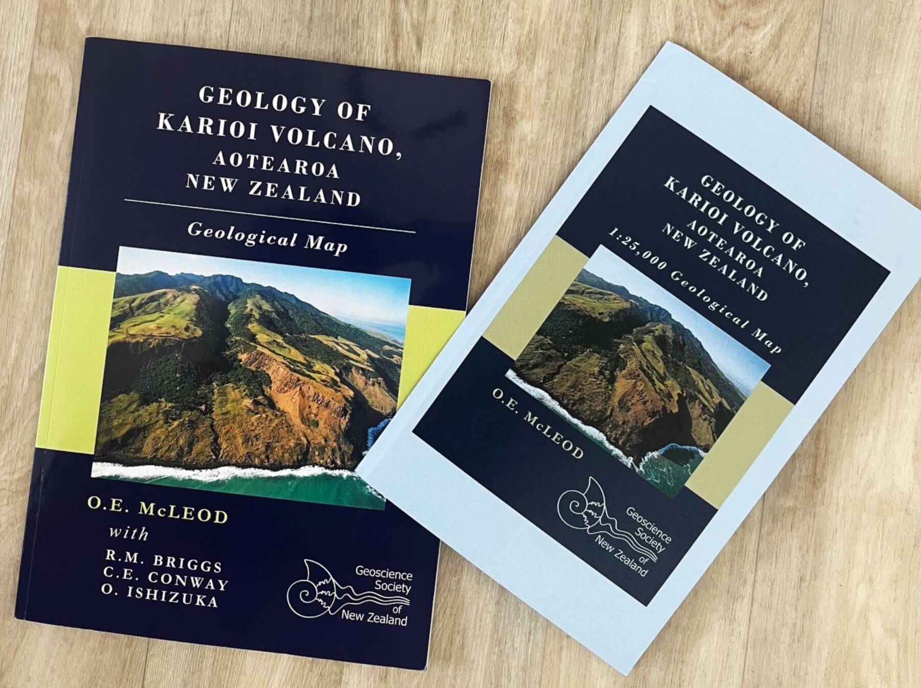
Dr Oliver McLeod’s new book centres on the geology and history of Raglan’s Mr Karioi. Photo: Viv Posselt
His map includes place names (often linked to land use) that have been preserved in centuries-old oral histories but don’t appear on topographical maps. It also shows the location of ancient pā sites.
Referring to his close working relationship with Māori communities on this project, McLeod said: “It was about honouring a cultural landscape by incorporating the best science with indigenous knowledge to convey the power of the landscape and its importance to people.”
Several unexpected findings came up while mapping Karioi. One was the discovery of multiple volcanic vents within the Raglan hills, indicating the sites of previously unknown volcanoes.
The book was blessed at Poihākena Marae prior to its public launch, and McLeod gave a presentation to kaumātua from along the west coast.
A framed map of the geology of Karioi is part of an exhibition on until November 29 at Hamilton East’s Welcome Swallow Gallery.
Karioi was a four-year task for McLeod. It was a heady time – researching and writing the book alongside starting a family with his wife, Julieta.
“Producing a book with two children under two is tough… I was up all night and writing all night.”
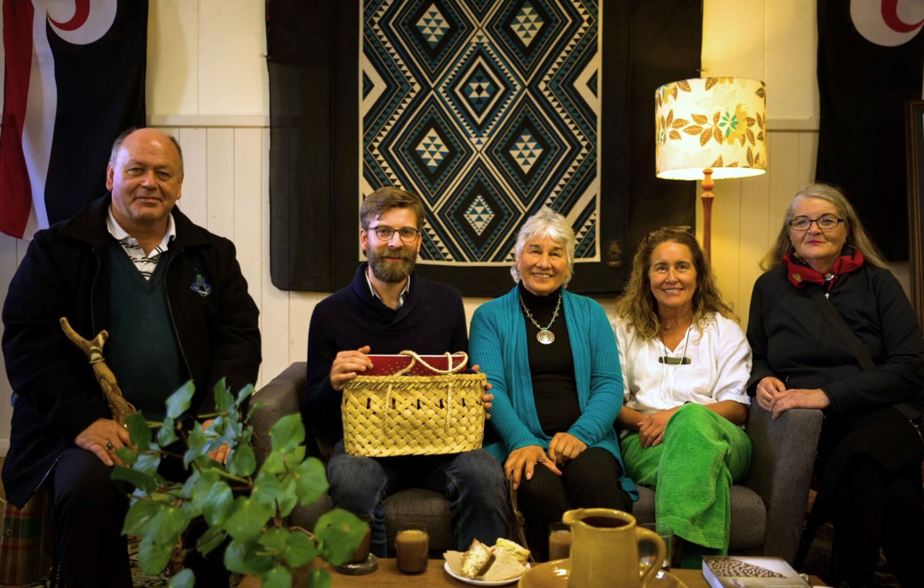
Dr Oliver McCleod, centre, with kaumātua Sean Ellison; Angeline Greensill, chairperson of the Tainui o Tainui Trust; Lisa Thomson, Whāingaroa general ward councillor; and Diane Bradshaw (Ngāti Te Wehi) of The MacDiarmid Institute New Zealand. Photo: David Loughlin
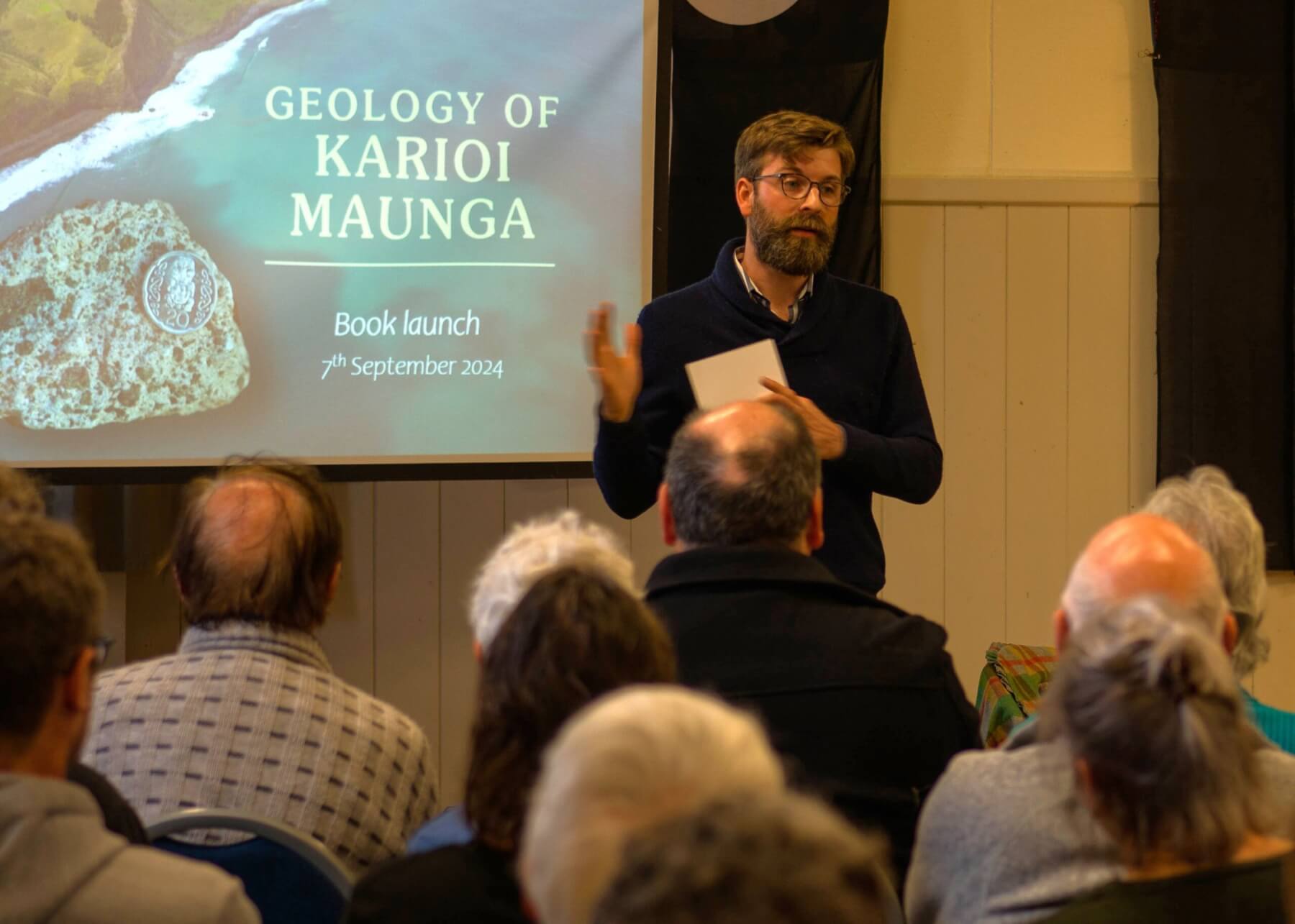
Geologist Dr Oliver McLeod speaking about his book at its launch in Raglan. Photo: David Loughlin


